Lake Pontchartrain
Lake Pontchartrain is a large brackish estuarine lake located in southeastern Louisiana, United States. The lake is approximately 40 miles (64 kilometers) long and 24 miles (39 kilometers) wide at its widest point. Covering approximately 630 square miles (1,600 square kilometers), it is one of the largest lakes in the country by surface area.
.png "Lake Pontchartrain") |
| Lake Pontchartrain |
Despite being called a lake, it is actually an estuary connected to the Gulf of Mexico via the Rigolets Strait and Lake Borgne, which allows a mixture of salt and fresh water. This unique characteristic supports a diverse ecosystem of both freshwater and saltwater species. Several rivers, including the Tangipahoa, Tchefuncte, and Bogue Falaya, flow into Lake Pontchartrain, contributing to its freshwater inflow.
Lake Pontchartrain is bordered by several parishes, including Orleans, Jefferson, St. Tammany, and St. Charles, and is an important geographical feature for the city of New Orleans. It serves as a critical natural buffer against storm surges and hurricanes, playing a significant role in the region's flood control system.
.png "Lake Pontchartrain") |
| Lake Pontchartrain |
The lake has a rich history dating back to its discovery by French explorers in the late 17th century. It was named after Louis Phélypeaux, the Count of Pontchartrain and the French Minister of the Marine under King Louis XIV. Native American tribes, including the Choctaw, originally inhabited the region and relied on the lake for fishing, transportation, and sustenance.
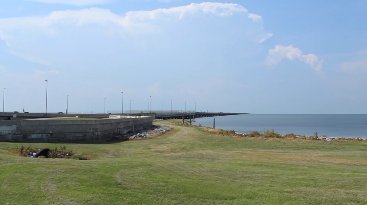
Lake Pontchartrain is renowned for the Lake Pontchartrain Causeway, which spans approximately 24 miles (39 kilometers) and is one of the longest continuous bridges over water in the world. Completed in 1956, the causeway connects the city of Metairie, a suburb of New Orleans, with the North Shore communities such as Mandeville and Covington.
.png "Lake Pontchartrain Causeway") |
| Lake Pontchartrain Causeway |
The lake supports a wide variety of wildlife, including fish species such as speckled trout, redfish, and catfish, as well as blue crabs, shrimp, and oysters. Birdwatchers can observe numerous species of waterfowl, including herons, egrets, and pelicans. The surrounding wetlands provide vital habitat for many of these species and serve as breeding grounds for migratory birds.
Over the years, Lake Pontchartrain has faced environmental challenges, including pollution and coastal erosion. In the mid-20th century, the lake experienced significant pollution from industrial runoff and wastewater discharge, leading to a decline in water quality and aquatic life. However, concerted efforts by environmental groups and government agencies, such as the Lake Pontchartrain Basin Foundation, have led to substantial improvements in water quality. Restoration efforts have focused on reducing nutrient runoff, improving sewage treatment infrastructure, and reestablishing wetlands to act as natural filters.
.png "Lake Pontchartrain") |
Lake Pontchartrain
|
Hurricanes, including Hurricane Katrina in 2005, have had a profound impact on Lake Pontchartrain and the surrounding communities. Katrina's storm surge caused catastrophic flooding in New Orleans when levees failed, and the lake inundated large portions of the city. In response, the U.S. Army Corps of Engineers implemented extensive levee improvements and storm surge barriers to mitigate future risks.
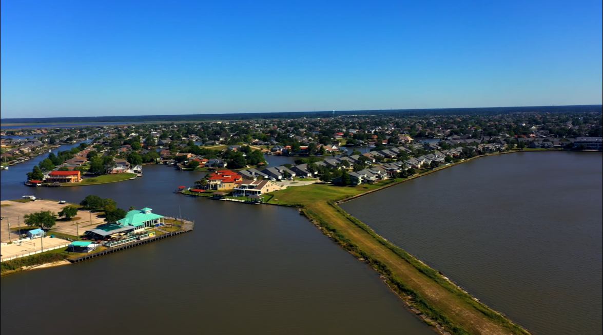
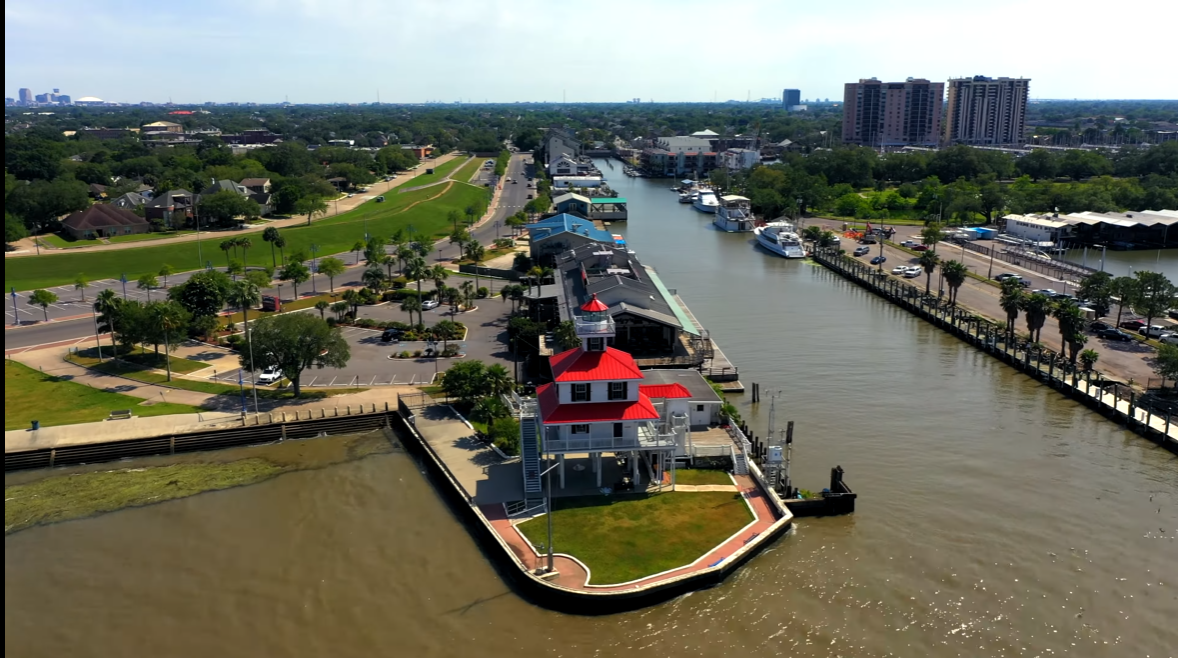
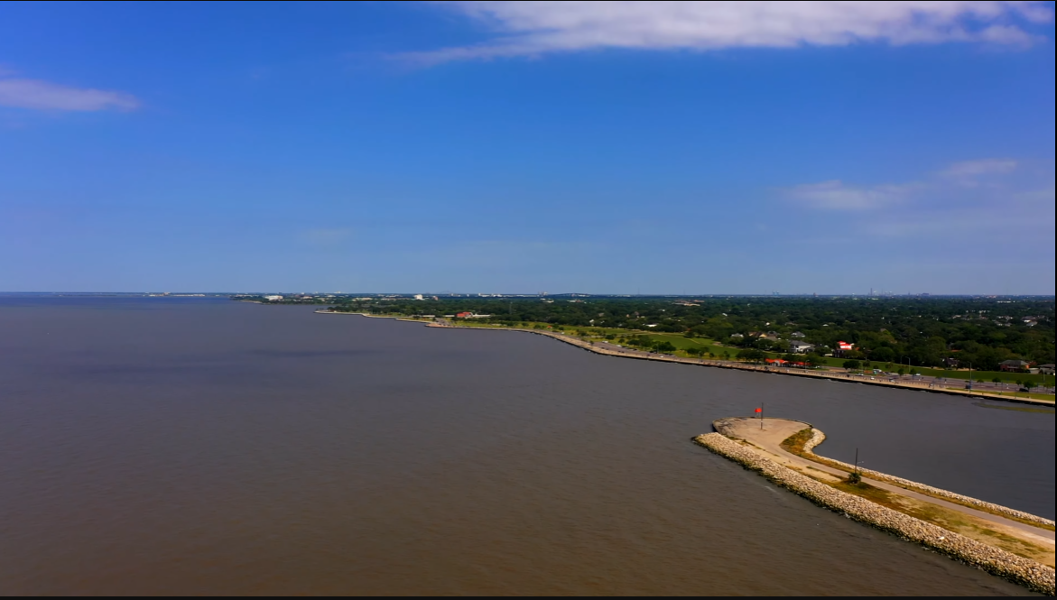
Recreational activities on Lake Pontchartrain are popular among residents and visitors alike. Boating, fishing, kayaking, and sailing are common pastimes, with marinas and boat launches located around the lake. The lakefront areas, such as Lakeshore Drive in New Orleans, provide scenic spots for picnicking, jogging, and birdwatching.
.png "Lake Pontchartrain") |
| Lake Pontchartrain |
In conclusion, Lake Pontchartrain is not only a vital ecological and economic resource but also a cultural and historical treasure for Louisiana. Continued efforts to preserve and protect this valuable estuarine system are essential for maintaining its ecological balance and ensuring that it remains a thriving habitat for wildlife and a source of enjoyment for future generations.
FAQs
Q. Where is Lake Pontchartrain?/What state is Lake Pontchartrain in?
A. Lake Pontchartrain is located in southeastern Louisiana, United States. It is situated to the north of the city of New Orleans and is a prominent feature in the geography of the New Orleans metropolitan area. The lake spans across multiple parishes, including St. Tammany Parish to the north, St. John the Baptist Parish to the west, St. Charles Parish to the west and southwest, and Orleans Parish to the southeast. The Lake Pontchartrain Causeway, one of the longest continuous bridges over water in the world, connects the northern and southern shores of the lake.
.png "Lake Pontchartrain Map") |
| Lake Pontchartrain Map |
Q. How big is Lake Pontchartrain?/How long is Lake Pontchartrain?
A. Lake Pontchartrain is approximately 40 miles (64 kilometers) long and 24 miles (39 kilometers) wide at its widest point. It covers an area of about 630 square miles (1,600 square kilometers). The lake is characterized by its brackish water, which is a mix of saltwater from the Gulf of Mexico and freshwater from the rivers that flow into it.
Q. How deep is Lake Pontchartrain?/What is the average depth of Lake Pontchartrain?
A. Lake Pontchartrain has an average depth of about 12 to 14 feet (3.7 to 4.3 meters). However, the lake's depth can vary in different areas. Some parts of the lake are shallower, while others may reach deeper depths, but in general, it is a relatively shallow body of water. The lake's brackish nature, a mix of salt and freshwater, contributes to its unique ecosystem and characteristics.
Q. How many acres is Lake Pontchartrain?
A. Lake Pontchartrain covers an approximate area of 630 square miles, which is equivalent to 403,200 acres. This large brackish estuary is a significant geographic feature in southeastern Louisiana, providing habitat for various wildlife and serving as a recreational and economic resource for the region.
Q. How long is the Lake Pontchartrain bridge?/How long is the Lake Pontchartrain causeway?/How long is the bridge over Lake Pontchartrain/How long is Lake Pontchartrain bridge in miles?/How many miles is Lake Pontchartrain bridge?
A. The Lake Pontchartrain Causeway, which is often referred to as the Lake Pontchartrain Bridge, is a series of parallel bridges that span Lake Pontchartrain in Louisiana. The causeway is considered one of the longest continuous bridges over water in the world. Here are the details:
Total Length: The Lake Pontchartrain Causeway consists of two parallel bridges:
- The southbound span is approximately 23.87 miles (38.42 kilometers) long.
- The northbound span is slightly longer, at approximately 23.88 miles (38.44 kilometers) long.
Total Length of Both Spans Combined: The total length of both spans of the Lake Pontchartrain Causeway is approximately 47.75 miles (76.86 kilometers).
Lake Pontchartrain Photos
.png "Lake Pontchartrain") |
| Lake Pontchartrain |
.png "Lake Pontchartrain") |
| Lake Pontchartrain |
.png "Lake Pontchartrain") |
| Lake Pontchartrain |
.png "Lake Pontchartrain") |
| Lake Pontchartrain |
.png "Lake Pontchartrain") |
| Lake Pontchartrain |
.png "Lake Pontchartrain") |
| Lake Pontchartrain |
.png "Lake Pontchartrain") |
| Lake Pontchartrain |
.png "Lake Pontchartrain") |
| Lake Pontchartrain |
.png "Lake Pontchartrain") |
| Lake Pontchartrain |
.png "Lake Pontchartrain") |
| Lake Pontchartrain |
.png "Lake Pontchartrain") |
| Lake Pontchartrain |
.png "Lake Pontchartrain") |
| Lake Pontchartrain |
.png "Lake Pontchartrain") |
| Lake Pontchartrain |
.png "Lake Pontchartrain") |
| Lake Pontchartrain |
.png "Lake Pontchartrain") |
| Lake Pontchartrain |
.png "Lake Pontchartrain") |
| Lake Pontchartrain |
.png "Lake Pontchartrain") |
| Lake Pontchartrain |
.png "Lake Pontchartrain") |
| Lake Pontchartrain |
.png "Lake Pontchartrain") |
| Lake Pontchartrain |
.png "Lake Pontchartrain Causeway") |
| Lake Pontchartrain Causeway |
.png "Lake Pontchartrain Causeway") |
| Lake Pontchartrain Causeway |

.png "Lake Pontchartrain")
.png "Lake Pontchartrain")
.png "Lake Pontchartrain Causeway")
.png "Lake Pontchartrain")
.png "Lake Pontchartrain")
.png "Lake Pontchartrain Map")
.png "Lake Pontchartrain")
.png "Lake Pontchartrain")
.png "Lake Pontchartrain")
.png "Lake Pontchartrain")
.png "Lake Pontchartrain")
.png "Lake Pontchartrain")
.png "Lake Pontchartrain")
.png "Lake Pontchartrain")
.png "Lake Pontchartrain")
.png "Lake Pontchartrain")
.png "Lake Pontchartrain")
.png "Lake Pontchartrain")
.png "Lake Pontchartrain")
.png "Lake Pontchartrain")
.png "Lake Pontchartrain")
.png "Lake Pontchartrain")
.png "Lake Pontchartrain")
.png "Lake Pontchartrain")
.png "Lake Pontchartrain")
.png "Lake Pontchartrain Causeway")
.png "Lake Pontchartrain Causeway")
No comments:
Post a Comment